NE UpdatesHappeningsBreaking News
Borders of Northeastern states to be demarcated via satellite imaging: Centre
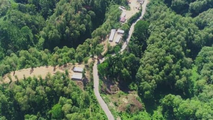
Aug 2: Inter-state border disputes that are often becoming a cause of concern and sometimes even leading to violence. Recently, the border dispute between Assam & Mizoram took an ugly turn with Mizoram killing 6 of Assam Police personnel and injuring 40 plus jawans including the then Police Super of Cachar district. In this backdrop, the Centre has decided to demarcate boundaries of the Northeastern states through satellite imaging.
 According to senior government officials, the task of demarcating boundaries has been given to the North Eastern Space Application Centre (NESAC), a joint initiative of the Department of Space (DoS) and the North Eastern Council (NEC). The NESAC helps augment the developmental process in the Northeast region by providing advanced space technology support.
 The idea for demarcation of inter-state boundaries through satellite imaging was mooted by Union Home Minister Amit Shah a few months ago. Once the satellite mapping is done, the boundaries of Northeastern states could be drawn and the disputes could be resolved permanently. Once the satellite mapping is done, the boundaries of Northeastern states could be drawn and the disputes could be resolved permanently.